
Canterbury in World War II
The destruction of World War II came to Canterbury in the night of 1 June 1942, the worst of a series of air raids, when high explosive and incendiary bombs rained down on the old city.
The destruction of World War II came to Canterbury in the night of 1 June 1942, the worst of a series of air raids, when high explosive and incendiary bombs rained down on the old city.

University expansion reshaped Canterbury in the late 20th century, as new campuses and student housing transformed the city’s edge and internal streetscape. The University of Kent, Canterbury Christ Church University, and the University for the Creative Arts grew through distinctive building programmes and institutional mergers while linking local heritage to modern higher education.

Out-of-town trading estates along Canterbury’s A28 corridor reshaped the city’s retail geography from the 1960s onward, concentrating big-box stores and services at Wincheap and Sturry Road. Supermarkets, retail parks, and park-and-ride access boosted regional shopping but intensified traffic tailbacks, pollution, and vibration damage to older roadside housing and buildings.
Powell and Pressburger’s 1944 film A Canterbury Tale reworks Chaucer’s pilgrims to frame wartime Canterbury as a place where physical travel and spiritual inheritance meet. Blitz-era threats to historic buildings sharpen the film’s focus on intangible literary heritage and collective memory, later echoed by the installation of a Chaucer statue that links medieval pilgrimage to modern tourism on Canterbury High Street.
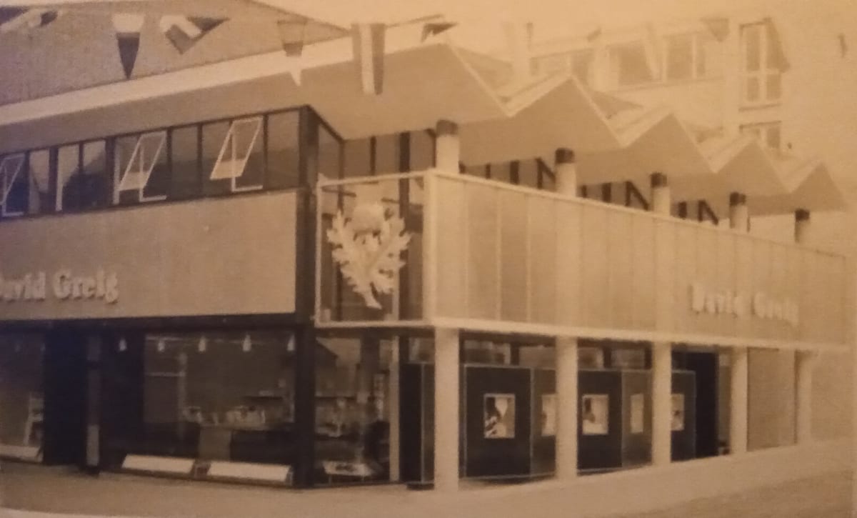
Department stores and specialist retailers reshaped Canterbury’s city centre from the 1920s to the early 21st century, linking consumer culture to postwar rebuilding and changing streetscapes. Lefevre’s, Barretts, and later Whitefriars show how bombing damage, planning choices, and heritage-minded conservation together made retail both an engine of urban renewal and a contested civic priority.
Canterbury’s railway corridor links early steam innovation to late-20th-century heritage-led regeneration. Listed buildings at Canterbury West and the rescued Goods Shed show how preservation orders and adaptive reuse reshaped a former goods yard into housing, markets, and high-speed connectivity.
Post-war redevelopment in Canterbury city centre sparked a struggle between Charles Holden’s modernist master plan and a resident-led defence of historic streets and spaces. Compromise schemes, partial implementation, and later rebuilding produced a layered townscape where bomb damage, traffic planning, retail redevelopment, and pedestrianisation reshaped places such as Rose Lane, the Longmarket, and Whitefriars.
A third of the inner core of Canterbury was destroyed by WW2 bombing raids and this part of the city was rebuilt twice during the 20th century. However the Cathedral remained conspicuous and prominent as the major icon of Canterbury and most important pole of attraction.
Canterbury’s 20th-century industrial heritage centres on the St Mildred’s upholstery tannery, once among Europe’s largest within the city walls. Civic philanthropy by the Williamson family and the tannery’s closure in 2002 reshaped Westgate Gardens, Tannery Field, and riverside sites through preservation and housing redevelopment.

Canterbury was one of the areas affected by floods in November 1909, with local schools being closed and post being thrown through upstairs windows.
Canterbury’s 20th-century education boom reshaped the city through the expansion of schools, new campuses, and the reuse and conservation of historic precinct buildings. Long-standing institutions such as King’s School and the Simon Langton grammar schools navigated wartime disruption, post-war rebuilding, and reforms like the 1944 Education Act while extending their civic and cultural roles across the community.

Canterbury’s 20th-century economy stayed rooted in rural trade and cathedral tourism even as new technologies reshaped local enterprise. Family firms such as ParkerSteel and Barretts grew from small shops into regional businesses, navigating war damage, planning disputes, and shifts from bicycles and radios to cars and electronics.